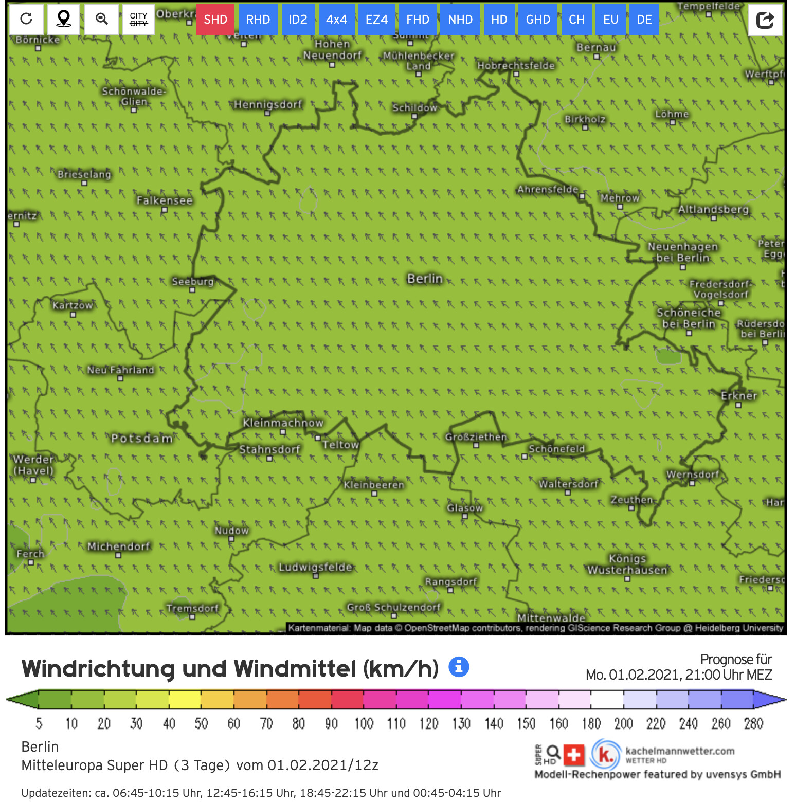
We are using the NOAA data. The data is a forecast and generated only every 6 hours. We use the data with a raster of 250m, for a height of 10m above ground.
You mya need to check which wind direction is shown on the maps you were looking at. For the weather the wind direction at higher levels is more important while for the distribution of particulate matter the wind direction in lower levels seems to be more interesting (in our opinion).
Thanks for the explanation. I guess the 6h interval is key here. The current wind direction shown on maps.sensor.community matches the measurements from about 8h ago. In the meantime direction has changed and will should appear on the map later today.
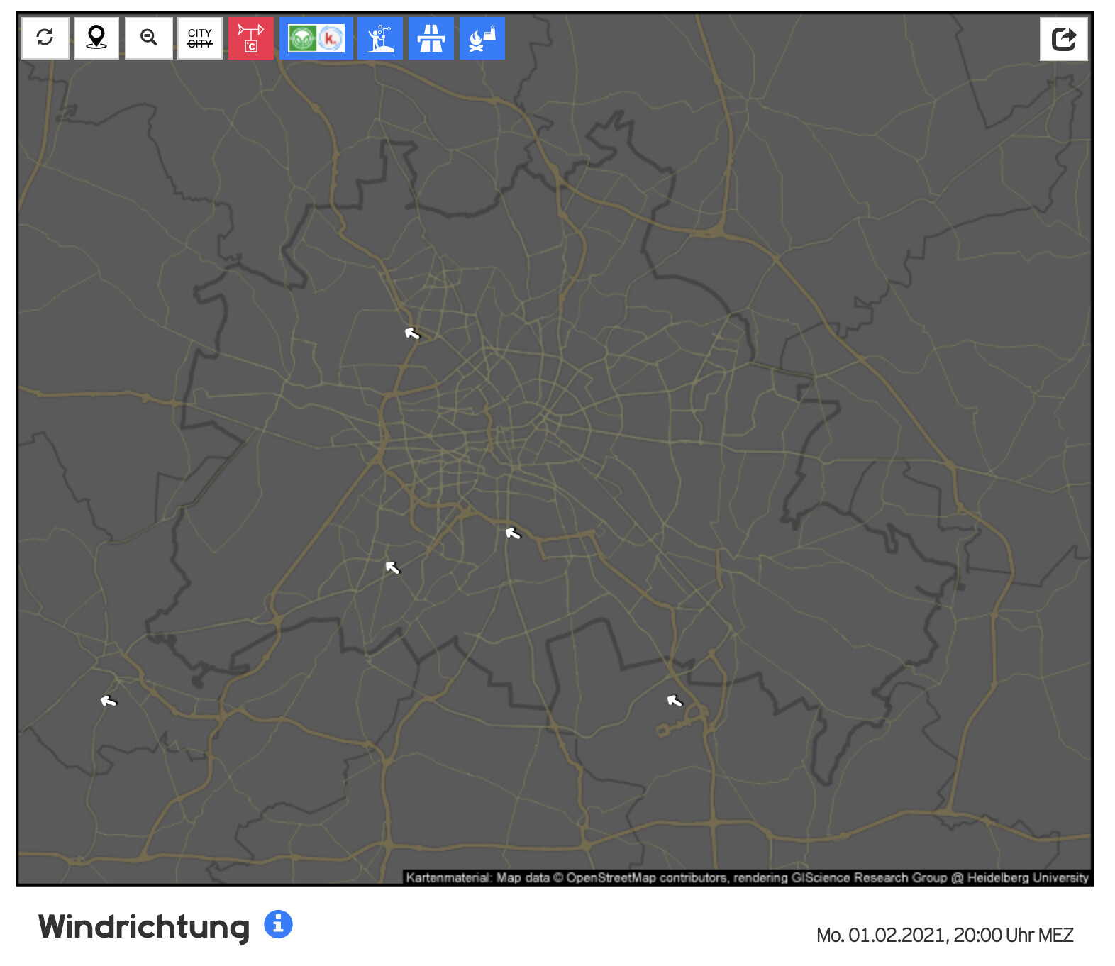
We have also noticed a discrepancy in the wind direction between sources. This occurred for us when using an already opened web page. The sensor data updated but not the wind direction. However, a complete page refresh also changed the wind direction to that given by other sources.
This is debatable question.
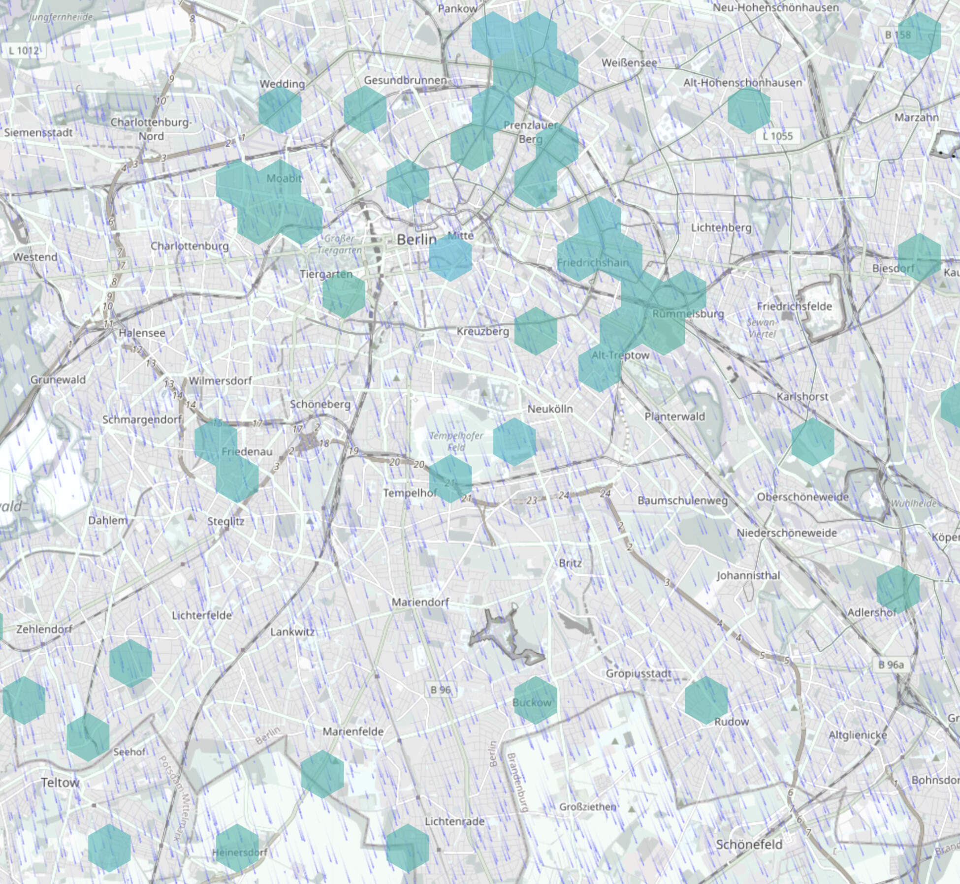
On one hand it quite useful to measure local wind speed and direction as this can be used to track the sources of air pollution.
On another hand it is quite hard to place these sensors in the city where there are a lot of turbulence due to buildings.
The fact is that the wind layer is “heavy”. Both my phone and laptop (which is of ultra mobile type) having troubles loading the map with wind layer on.
Well, one can use ?nowind parameter to load the map without the wind layer.
I would recommend to turn off the wind layer by default to achieve a faster loading of the map.
As a first step I have reduced the resolution of the air pressure data. This should reduce the amount of data to a fourth of the size we had until now.