Hello.
Have you had problem with using this data when you are making maps with QGIS?
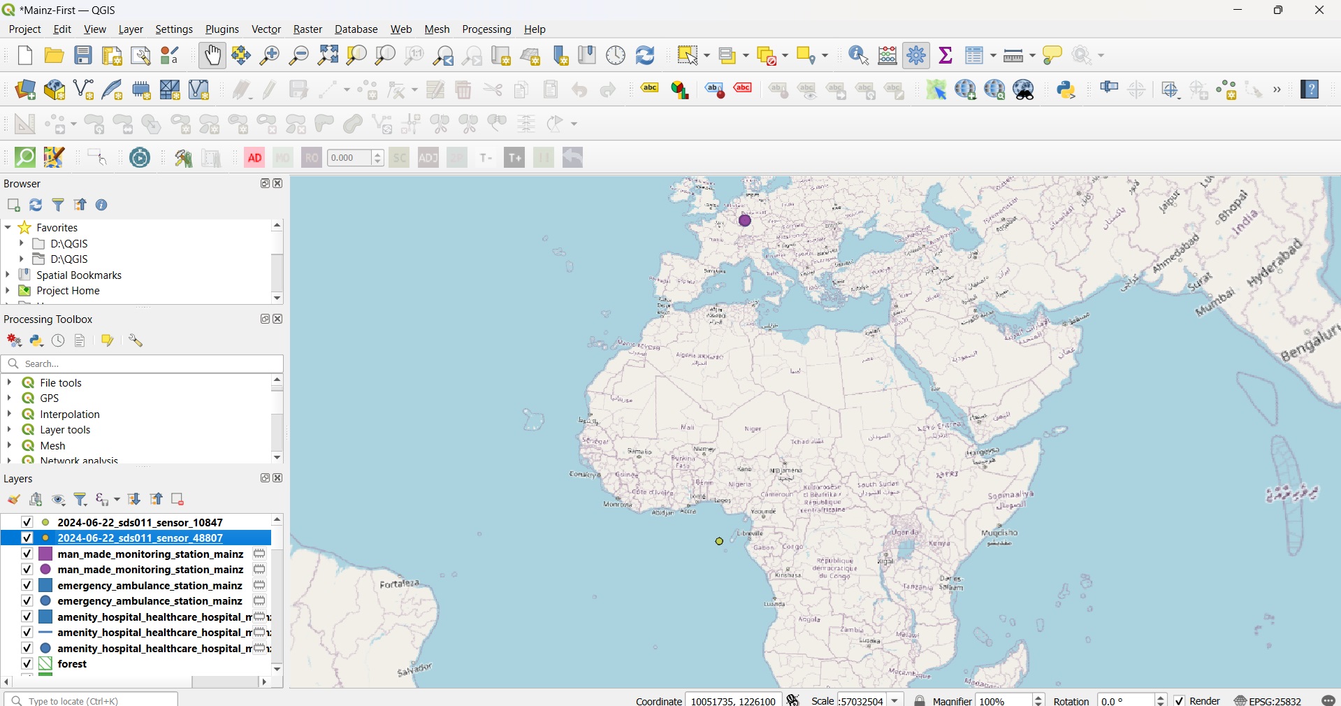
I am trying to use the CSV files through sensors community website for Mainz city, but it seems that they may have incorrect coordinates. For instance, sensor #48807 is one of the sensors for Mainz (according to the website) but it is located in Africa when I import it in the QGIS. I also tried some other sensors data but they show the same location.
Can someone please help me with that? I attached a pic to this message.
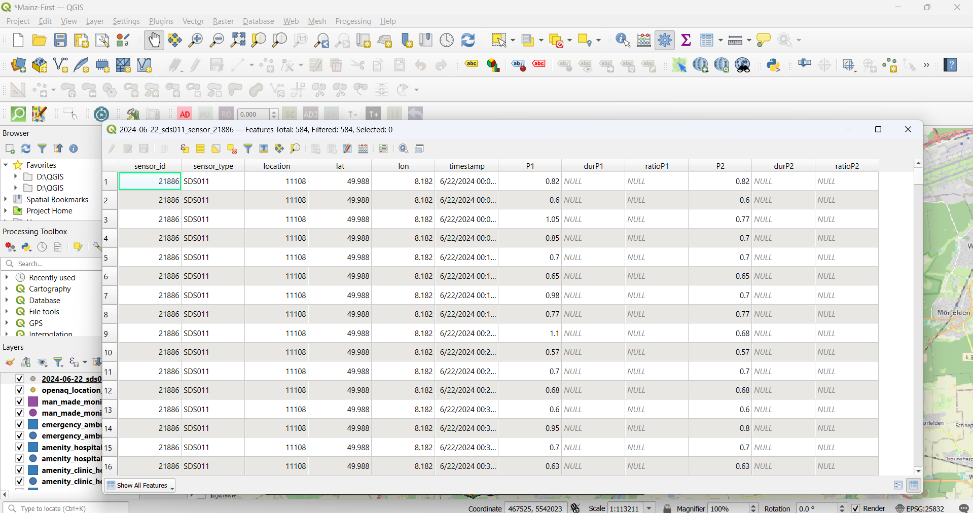
I have this information as excel files and I import these excel files into the QGIS. I don’t know why the point shown is 0:0. I checked out these tables and they were ok.
What are lon/lat for the #48807 ?
It was not well registered. If you now the address, you can correct it in QGIS.
How will you visualize the time evolutionin QGIS ?